| View previous topic :: View next topic |
| Author |
Message |
LeeD
Joined: 12 Jun 2008
Posts: 1175
|
 Posted: Thu Sep 02, 2010 2:26 pm Post subject: Posted: Thu Sep 02, 2010 2:26 pm Post subject: |
 |
|
| And of course, listing one's previous experience when it's pertinent to the subject of this discussion is not bravado or boastful, but just telling past history.
|
|
| Back to top |
|
 |
Georges
Joined: 10 Apr 2000
Posts: 249
|
| Posted: Thu Sep 02, 2010 4:35 pm Post subject: |
|
|
| LeeD wrote: | | And of course, listing one's previous experience when it's pertinent to the subject of this discussion is not bravado or boastful, but just telling past history. |
Most can make a point with only one or two.Just saying. 
|
|
| Back to top |
|
|
coyoteandre
Joined: 20 Jul 2015
Posts: 57
|
| Posted: Thu Sep 02, 2010 6:24 pm Post subject: bay crossing |
|
|
I removed my attachments, how to remove text post?
How to delete whole (my own, this one) post?
Andre
Last edited by coyoteandre on Thu Sep 16, 2010 11:52 am; edited 3 times in total |
|
| Back to top |
|
|
Georges
Joined: 10 Apr 2000
Posts: 249
|
| Posted: Thu Sep 02, 2010 7:25 pm Post subject: |
|
|
| IMO you are the only one here worth listening to on this subject andre....I think you where in the news for making this crossing right?
|
|
| Back to top |
|
|
coyoteandre
Joined: 20 Jul 2015
Posts: 57
|
| Posted: Sat Sep 04, 2010 1:28 am Post subject: SF bay crossing |
|
|
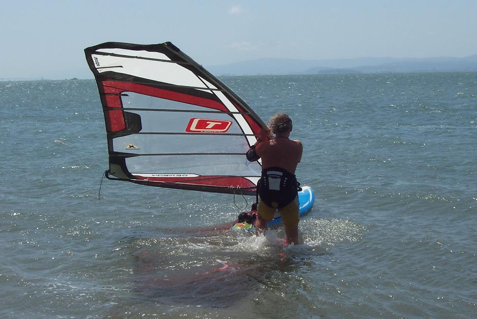
This 5 parts post is based on my experience having done this crossing seven times in recent years. Post should be informative to show what is involved in planing and doing it, should also be entertaining with illustrations. Any questions and comments are welcomed.
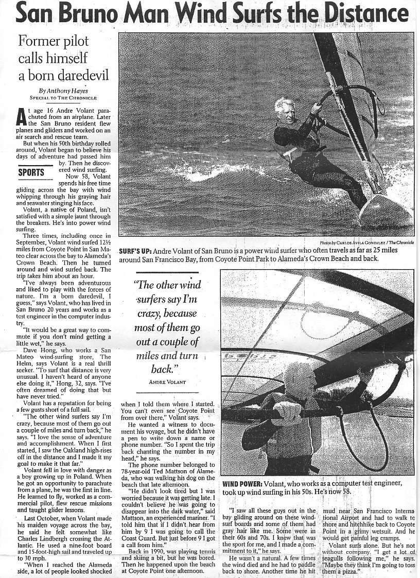
1. This crossing is not much fun; it is a grueling task, it is more like a test of endurance, a challenge with yourself, anything could happen which could become serious business like here
http://www.sfexaminer.com/local/windsurfing-trip-turns-waterlogged-nightmare
http://www.iwindsurf.com/forums/viewtopic.php?t=21106
For fun and barbecue I recommend sailing to the channel, jibe around marker 5 or 6 than head back to Coyote.
Do this round trip 3 times so it will be 24 miles, close enough in distance, it's closer to mama and safer. Its a good training before the real thing if you still want to do it later. The wind 20 mph or better is only the first 4-6 miles. The other half of the bay may have 20 mph wind only ONE day per month for 1-2 hours if even that. You can't arrange wind, crossing event would be very difficult to schedule.
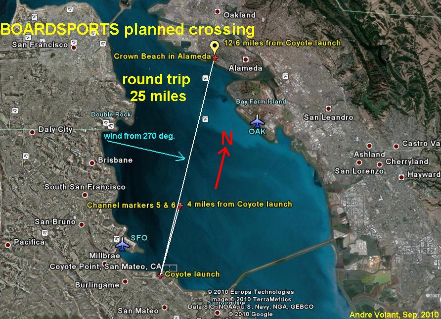
Shipping channel markers # 5 and 6 are about 4 miles from Coyote; all the way across to Crown Beach in Alameda the distance is 12.5 miles. It takes 30-40 minutes to go all the way when white caps are all the way. These conditions are very rare, happen usually during clearing wind after passage of cold front. The first 4 miles before channel markers there is big chop or nice swells, depending on the tide. The other side of the Bay often has confused chop like a large bumps or moguls on ski slopes. Minute after minute Alameda is closer than Coyote. That time you feel natural high, you get all the way to the Crown Beach with feeling like you are on top of Mt. Everest or like Charles Lindbergh after crossing Atlantic. When you get to the beach you are happy, then you think, oops... now I have to go back 12.5 miles to Coyote Point, that's depressing moment.
To avoid probate it helps to sign a will, have life insurance, tell someone where you hide your car keys. Things to have with you: life vest, wristwatch, VHF submersible radio, and fresh (not stale) marine flares. I did the crossing seven times in 9 years without all the above which was stupid. It is good practice to do a "milk run" sailing to the channel markers 5 or 6 and back, that's about 4 miles one way, 8 miles round trip, time yourself and calculate speed. Avoid doing Alameda crossing alone if you can.
Andre
Weather links for SFO and OAK airports are below.
Times are East Coast Daylight Saving, 10 PM is 7 PM in California.
http://weather.noaa.gov/weather/current/KSFO.html
http://weather.noaa.gov/weather/current/KOAK.html
my videos sailing Coyote Point and Crissy
http://www.youtube.com/watch?v=KTnH8p3x3M4
http://www.youtube.com/watch?v=AmM4iPPnMbs
experiments with a cam mounted on the nose and mast
http://www.youtube.com/watch?v=I1TqWy2shug
| Description: |
| San Francisco Chronicle article after crossing three times. |
|
| Filesize: |
405.25 KB |
| Viewed: |
18446 Time(s) |
|
| Description: |
| guide to Coyote-Alameda-Coyoty crossing 25 miles round trip, it can be done in ONE hour if wind is all the way across the Bay |
|
| Filesize: |
148.41 KB |
| Viewed: |
18935 Time(s) |
|
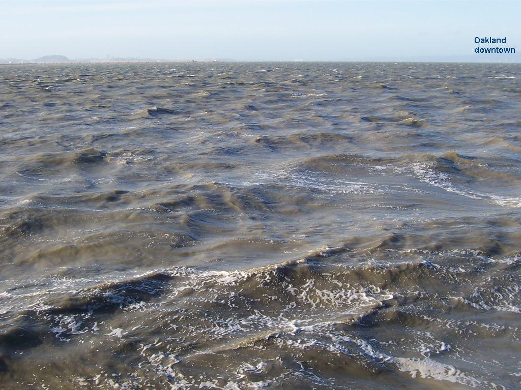
| Description: |
| view from Coyote Point toward Oakland |
|
| Filesize: |
146.36 KB |
| Viewed: |
18935 Time(s) |
|
| Description: |
| inviting view from Coyote Point |
|
| Filesize: |
158.16 KB |
| Viewed: |
18935 Time(s) |

|
| Description: |
| compare wind speeds at San Francisco airport with Oakland airport |
|
| Filesize: |
55.13 KB |
| Viewed: |
18935 Time(s) |

|
Last edited by coyoteandre on Tue Sep 25, 2012 6:29 am; edited 3 times in total |
|
| Back to top |
|
|
coyoteandre
Joined: 20 Jul 2015
Posts: 57
|
| Posted: Sat Sep 04, 2010 3:47 am Post subject: SF bay crossing |
|
|
2. Equipment to use, board can be light slalom or bump & jump sinker or floater, sail: 5 to 6 m.
Best wind for crossing is 20-26 mph from direction 270-290 degrees W-WNW, has to be at least 20 mph all the way.
Before the channel wind often changes direction by 10-20 degrees to the left sometime to the right. It looks as after passing channel markers you are heading for Treasure Island. The best tide is ebb tide for going both directions. When you leave Coyote Point you should aim for the LEFT side of Oakland downtown or go as much upwind as possible to get to the markers first.
Getting to the markers should take 10-15 minutes. To the Crown Beach is three times as far. When you reach markers your body will tell you if you want to go further or come back. You may go another mile or two, but be on alert when you start thinking that your harness lines are too far back on the boom, good indication of lighter wind. This is the right time to turn around and run back to mama before it's too late.
Remember that other side of the Bay the wind is almost always half the speed of wind before Channel.
When at channel markers you see white caps toward Oakland go full speed another 5 minutes in direction a little to the left of Oakland downtown. After 5 minutes you should see long row of houses along Alameda beach. To the left of the houses you will see green area. Aim for center of that green patch, a hundred yards from where the houses end. The last hundred yards can be shallow depending on the tide.
There is no welcoming committee waiting there so spend on the beach as little time as possible because wind may change. Visit Boardsports shack, signe your name and time in their log book or give someone on the beach your phone number to call your home at 9 PM with instruction to call US Coast Guard if you are not back home by this time. This could be serious.
Andre
Weather links for SFO and OAK airports are here
http://weather.noaa.gov/weather/current/KSFO.html
http://weather.noaa.gov/weather/current/KOAK.html
sailing Coyote and Crissy
http://www.youtube.com/watch?v=KTnH8p3x3M4
http://www.youtube.com/watch?v=AmM4iPPnMbs
experiments with a cam mounted on the nose and mast
http://www.youtube.com/watch?v=I1TqWy2shug
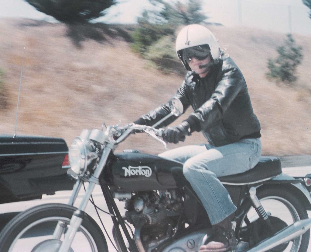
| Description: |
| Kevin and Matt are motorcycle riders, I wanted to be with them on the same page with my Norton... |
|
| Filesize: |
101.57 KB |
| Viewed: |
18970 Time(s) |
|
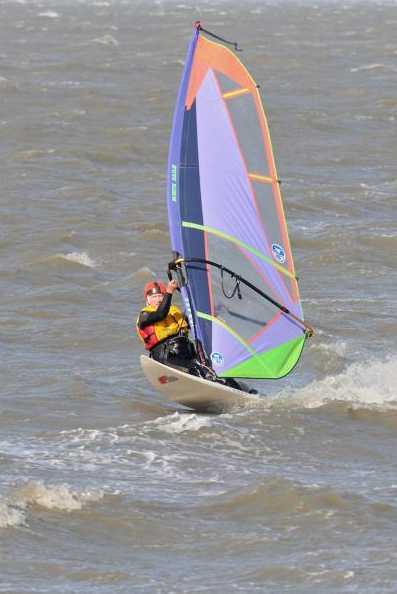
| Description: |
| Waddell, California, May 1996. no kites yet. |
|
| Filesize: |
95.76 KB |
| Viewed: |
18970 Time(s) |

|
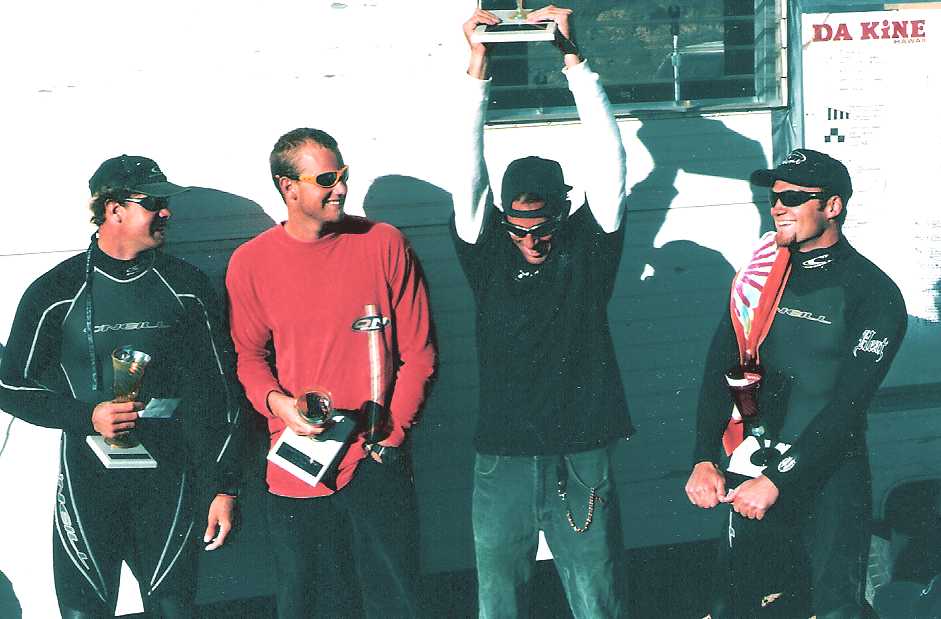
| Description: |
| Waddell competition Winners, May 1996. I see Matt and Kevin Pritchards and Ian Boyd, who else? |
|
| Filesize: |
55.18 KB |
| Viewed: |
18970 Time(s) |
|
| Description: |
| Waddell competition May 1996. I recognize Kevin and Matt Pritchards, who else? |
|
| Filesize: |
128.7 KB |
| Viewed: |
18970 Time(s) |

|
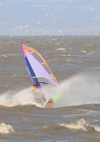
| Description: |
| 45 miles per hour day at Coyote on 5.0 m, late part of September or October. Thank you Mo for taking this photo. |
|
| Filesize: |
15.3 KB |
| Viewed: |
18971 Time(s) |
|
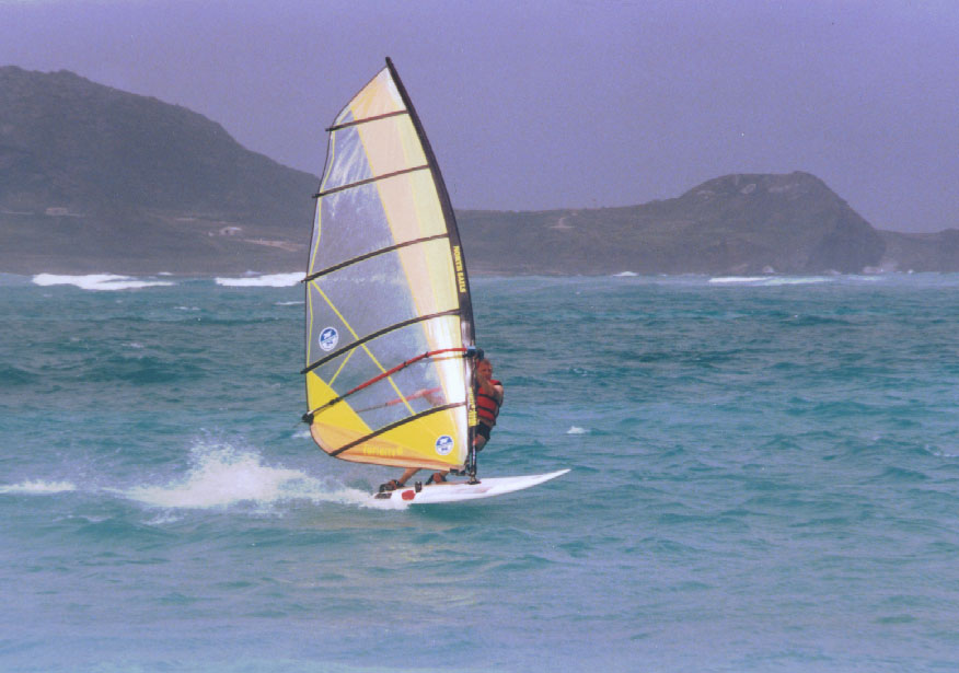
| Description: |
| 6.0 m, Kailua Bay, NE side of Oahu, Hawaii |
|
| Filesize: |
92.55 KB |
| Viewed: |
18970 Time(s) |
|
Last edited by coyoteandre on Tue Sep 25, 2012 6:36 am; edited 2 times in total |
|
| Back to top |
|
|
coyoteandre
Joined: 20 Jul 2015
Posts: 57
|
| Posted: Sat Sep 04, 2010 4:27 am Post subject: SF bay crossing |
|
|
3. Watch out for any unusual conditions. SFO/Coyote may have 35-45 mph wind when Alameda/Oakland beach may have only 10 mph like in the following example.
A few years ago I left Coyote on 5.0 rigged very flat in 36-mph wind reported by SFO. I had to stop on the middle of the Bay to adjust sail for more power. When I came within a mile of Alameda Beach there was not enough wind to do water start. I was stuck for more than half-hour. I had to lower the boom, make sail loose, wait for a breath of wind for marginal water start. About 15 minutes later I had to stop to adjust sail very flat to depower it. The last four miles was a "ride from hell" as the wind picked up to 45 mph, breaking waves blowing foam and spray. At Coyote everyone was out of the water, some were making bets; waves were splashing parking lot. Peter and Mike helped me with the rig and board as wind was ripping it out of my hands when I landed in a little cove around the point.
Andre
Weather links for SFO and OAK airports are below.
http://weather.noaa.gov/weather/current/KSFO.html
http://weather.noaa.gov/weather/current/KOAK.html
joy of sailing Coyote Point and Crissy
http://www.youtube.com/watch?v=KTnH8p3x3M4
http://www.youtube.com/watch?v=AmM4iPPnMbs
experiments with a cam mounted on the nose and mast
http://www.youtube.com/watch?v=I1TqWy2shug
| Description: |
| article in San Francisco Chronicle on October 03 1998 after I did Coyote-Alameda crossing three times. |
|
| Filesize: |
405.25 KB |
| Viewed: |
18967 Time(s) |

|
| Description: |
| strong Coyote day on 5.0 m. Thank you Mo for taking this photo. |
|
| Filesize: |
21.76 KB |
| Viewed: |
18967 Time(s) |
|
| Description: |
| Deven likes sailing without the wetsuit. Does he burn more calories? |
|
| Filesize: |
86.57 KB |
| Viewed: |
18967 Time(s) |
|
| Description: |
| Andre copy Deven by sailing without the wetsuit, does vest keep him warm? |
|
| Filesize: |
96.15 KB |
| Viewed: |
18967 Time(s) |

|
| Description: |
| compare wind speed at SFO and OAK |
|
| Filesize: |
47.76 KB |
| Viewed: |
18967 Time(s) |

|
Last edited by coyoteandre on Tue Sep 25, 2012 6:41 am; edited 2 times in total |
|
| Back to top |
|
|
coyoteandre
Joined: 20 Jul 2015
Posts: 57
|
| Posted: Sat Sep 04, 2010 5:27 am Post subject: SF bay srossing |
|
|
4. The first time Coyote-Alameda-Coyote 25 miles round trip took me ONE hour plus a few minutes spent on Alameda beach. It was 6 of October 1997, 6-7 PM. Equipment used: 5.0 Combat sail and Fanatic Ultra Boa 95 liter 8' 10"/ 270 cm board. My weight was about 190 lb. Other times I used 5.0, 5.6, 5.7, 6.0 sails, boards were 8' 10"/270 cm or 9 foot/275 cm, 95-105 liters.
A few years later on July 10-th I made to Alameda in 30 minutes, had a drink of water from a guy who was rigging in the park. A 10 minutes later wind was not the same, no planning; I had to slug all the way back to Coyote. The 12.5 miles took two hours on 6.0, as on that day wind died all over the Bay early after 5:30. I had to uphaul a couple of times.
Andre
Compare winds at SFO and OAK airports for the last 72 hours
http://weather.noaa.gov/weather/current/KSFO.html
http://weather.noaa.gov/weather/current/KOAK.html
enjoy my videos sailing Coyote Point and Crissy
http://www.youtube.com/watch?v=KTnH8p3x3M4
http://www.youtube.com/watch?v=AmM4iPPnMbs
experiments with a cam mounted on the nose and mast,
the cam with housing was 13 pounds at the tip of mast, uphauling sail was a nightmare
http://www.youtube.com/watch?v=I1TqWy2shug
| Description: |
| joy of windsurfing... returning from 3 miles out on the broken JPL boom the harness line broke on the good side, had to jury rig harness line, two brakes in one session, lightning strikes twice... |
|
| Filesize: |
184.81 KB |
| Viewed: |
18963 Time(s) |

|
| Description: |
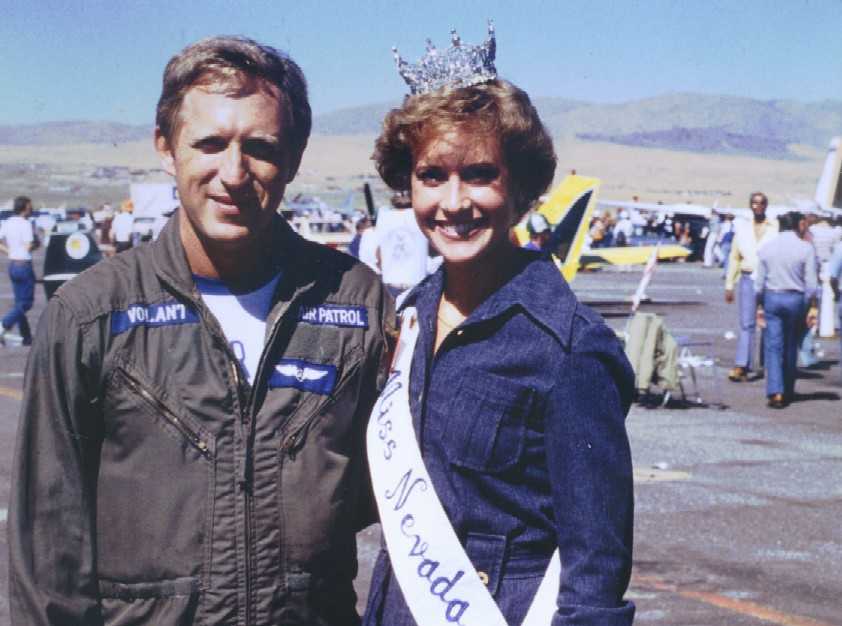
| at Reno Air Races, what can I say...at that time I thought that we will get married, she must be 53 now. Life of a Forest Gump? |
|
| Filesize: |
48.97 KB |
| Viewed: |
18964 Time(s) |
|
| Description: |
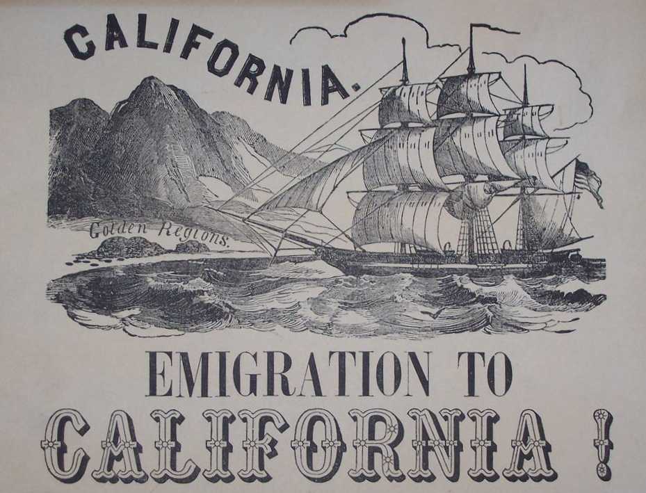
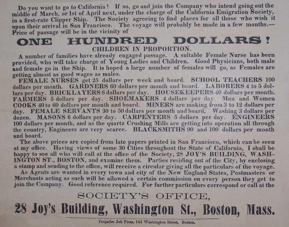
| OUR GRANDFATHERS DID CROSSING FOR BETTER BREAD. NOW WE DO IT JUST FOR A THRILL OF IT. |
|
| Filesize: |
80.24 KB |
| Viewed: |
18963 Time(s) |
|
| Description: |
| OUR GRANDFATHERS DID CROSSING FOR BETTER BREAD. NOW WE DO IT JUST FOR A THRILL OF IT. |
|
| Filesize: |
161.13 KB |
| Viewed: |
18963 Time(s) |
|
| Description: |
| OUR GRANDFATHERS DID CROSSING FOR BETTER BREAD. NOW WE DO IT JUST FOR A THRILL OF IT. |
|
| Filesize: |
34.07 KB |
| Viewed: |
18963 Time(s) |
|
Last edited by coyoteandre on Tue Sep 25, 2012 6:44 am; edited 2 times in total |
|
| Back to top |
|
|
coyoteandre
Joined: 20 Jul 2015
Posts: 57
|
| Posted: Sat Sep 04, 2010 6:00 am Post subject: SF bay crossing |
|
|
5. On August 4-th 2010 we had to turn around after sailing 8 miles toward Alameda-Oakland when at 6:30 we were 4 miles from other shore.
Mike was on 5.5, I was on 5.7, we were well powered and overpowered 2/3-rds of the way, than a hundred yards further we sailed out of the wind.
I estimate that between 6:00 and 6:30 wind on middle of the Bay was 23-25 even when SFO reported 21. I think that wind accelerates over flat area. The W-NW wind that blows through San Bruno gap is like a river 5-6 miles wide. Once you get on other side of that river of wind the wind speed drops to 10 mph. Fifteen years of observations tell me that most of the time the wind on Oakland side of the Bay is half as strong as San Francisco airport wind. When SFO wind is 20-30 mph, OAK wind is 9-14 mph.
San Bruno mountain has effect too, there may be a hole with light wind a mile wide midway that requires slugging, but that hole may not have wind on the other side, this could be a big problem.
It is safer to sail with someone at your level, stay close together and wait for each other.
Andre
Compare winds at SFO and OAK airports for the last 72 hours
http://weather.noaa.gov/weather/current/KSFO.html
http://weather.noaa.gov/weather/current/KOAK.html
wind Aug 4, 2010 at SFO, San Francisco Int. Airport, SW side of SF Bay
10 PM (2) Aug 04 W 18
9 PM (1) Aug 04 WNW 21
8 PM (0) Aug 04 WNW 23
7 PM (23) Aug 04 WNW 24
6 PM (22) Aug 04 WNW 23
5 PM (21) Aug 04 WNW 20
4 PM (20) Aug 04 WNW 17
---------
wind Aug 4, 2010 at OAK, Oakland airport, NE side of SF Bay
10 PM (2) Aug 04 WNW 15
9 PM (1) Aug 04 WNW 15
8 PM (0) Aug 04 WNW 17
7 PM (23) Aug 04 WNW 15
6 PM (22) Aug 04 WNW 17
5 PM (21) Aug 04 WNW 15
4 PM (20) Aug 04 WNW 10
enjoy my videos sailing Coyote Point and Crissy
http://www.youtube.com/watch?v=KTnH8p3x3M4
http://www.youtube.com/watch?v=AmM4iPPnMbs
experiments with a cam mounted on the nose and mast,
the cam with housing was 13 pounds at the tip of mast, uphauling sail was a nightmare
http://www.youtube.com/watch?v=I1TqWy2shug
| Description: |
| Coyote Point to Alameda, crossing guide. |
|
| Filesize: |
148.41 KB |
| Viewed: |
18959 Time(s) |

|
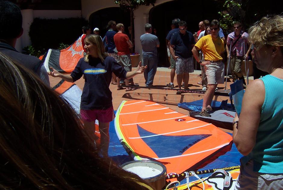
| Description: |
| Boardsports in action on June 11, 2010 event at San Francisco Yacht Club |
|
| Filesize: |
99.65 KB |
| Viewed: |
18959 Time(s) |
|
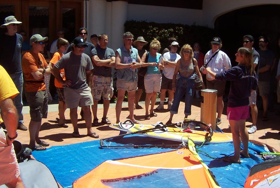
| Description: |
| Boardsports in action on June 11, 2010 event at San Francisco Yacht Club |
|
| Filesize: |
111.54 KB |
| Viewed: |
18959 Time(s) |
|
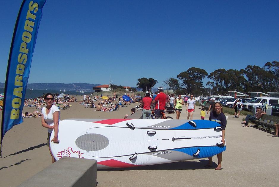
| Description: |
| Boardsports in action, Crissy Field beach |
|
| Filesize: |
85.03 KB |
| Viewed: |
18959 Time(s) |
|
| Description: |
| Boardsports in action, Crissy Field beach |
|
| Filesize: |
172.03 KB |
| Viewed: |
18959 Time(s) |

|
| Description: |
| beware of the red star... |
|
| Filesize: |
50.47 KB |
| Viewed: |
18959 Time(s) |

|
Last edited by coyoteandre on Tue Sep 25, 2012 6:47 am; edited 2 times in total |
|
| Back to top |
|
|
zpp66
Joined: 02 Apr 1994
Posts: 77
|
| Posted: Sat Sep 04, 2010 9:20 am Post subject: |
|
|
I am sure others are more knowledgeable than I, but is Alameda REALLY a straight shot on normal B&J gear from Coyote?
The reason I ask is I once sailed what seemed like forever towards the east bay from 3rd. I turned around probably 3/4 of the way there, but I was most decidedly south of san leandro. I know Coyote is north of 3rd, but is it north enough?
|
|
| Back to top |
|
|
|
|
You cannot post new topics in this forum
You cannot reply to topics in this forum
You cannot edit your posts in this forum
You cannot delete your posts in this forum
You cannot vote in polls in this forum
You can attach files in this forum
You can download files in this forum
|
|
|

